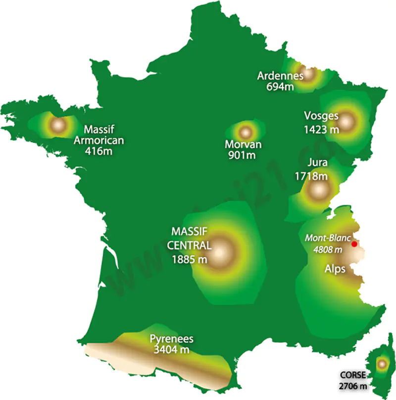
Map of the mountains in France
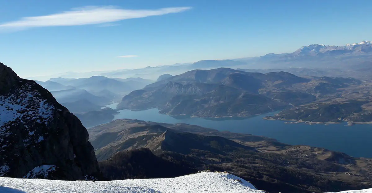
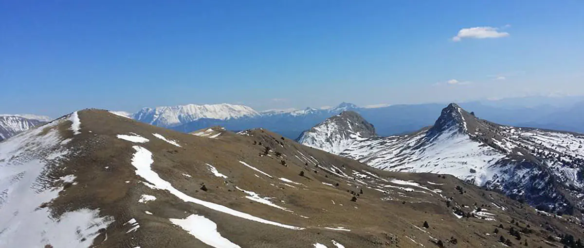
The two most important mountain ranges of France are the Alps and the Pyrenees. The highest peak is the Mont Blanc 4,808 metres above sea level and is in the Haute Savoie region of the French Alps.
Click on the map to zoom in or click here to download the large image.
The principle mountain regions in France
- The Alps (les Alpes), to the east of France and on the Swiss, Italian borders. The highest peak is the Mont Blanc at 4808 metres.
- Auvergne, Massif Central, located in central France with the remains of volcanos, the Cévennes hills are in the southern part of the Massif and reach 1700 metres with the Mont Lozère
- Jura, basically the foot hills to the French Alps
- Morvan, a granite area in Burgundy with peaks over 800 metres.
- Pyrenees (les Pyrénéés), in the south of France and borders with Spain, stretching from the Atlantic Ocean to the Mediterranean costs. There are many peaks over 3000 metres
- The Vosges are to the west of the Rhine valley in eastern France near the German border, the mountains peak at 1424m with the Grand Ballon.
- Corsica, the mountains of the island reach more than 2000 metres.
Useful French vocabulary
- The hill : la coline
- The mountain : la montagne
- The peak : le col
- The ridge : l'arête
- The valley : la vallée
- The summit : le sommet